Dubai Digital Twin
Immersive urban modeling for Downtown Dubai.
A virtual model of Downtown Dubai for city planning, scenario testing and real-time data visualization, built from GIS data, procedural modeling and Unreal Engine.
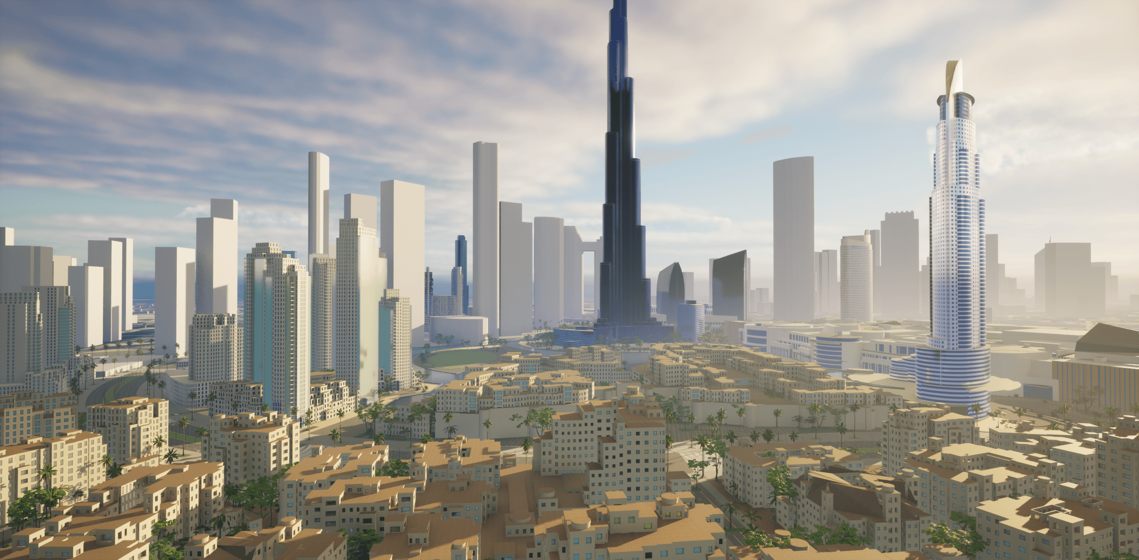
The Downtown Dubai skyline in the digital twin, including the Burj Khalifa.
Downtown
Dubai modelled, from the Burj Khalifa to Dubai Mall
UE 5.1
Unreal Engine for real-time 3D rendering
Billions
possible building configurations from custom CGA rules
Live
real estate and planning data over REST APIs
Overview
A virtual Downtown Dubai for planning and scenario testing
The Dubai Digital Twin is a virtual model of Downtown Dubai, built to support city planning, scenario testing and real-time data visualization. It combines GIS data, procedural modeling and an immersive 3D environment so stakeholders can explore, analyze and plan urban development in one place.
The model covers major landmarks such as the Burj Khalifa and Dubai Mall, and gives planners a platform for simulating development scenarios, monitoring real estate and visualizing live data streams.
Demo
See the digital twin in motion
A video demo of the Dubai Digital Twin.
Gallery
Inside the model
Urban development visualization
A 3D model of Downtown Dubai with its skyline, including the Burj Khalifa and the developments around it.
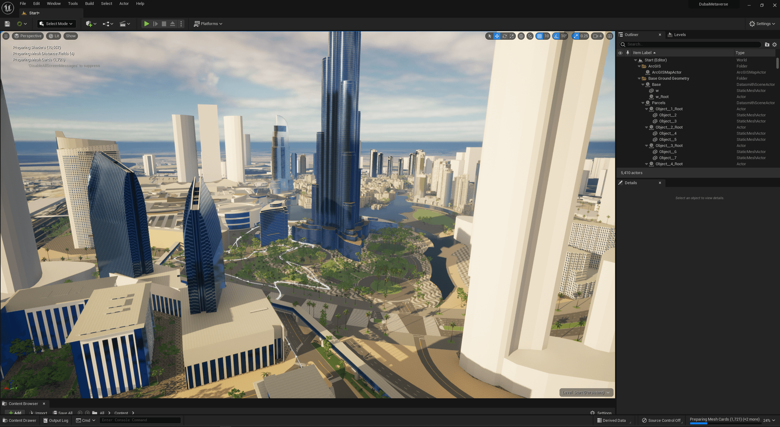
Development environment
The Unreal Engine workspace, showing how the digital twin is put together with detailed lighting and environmental effects.
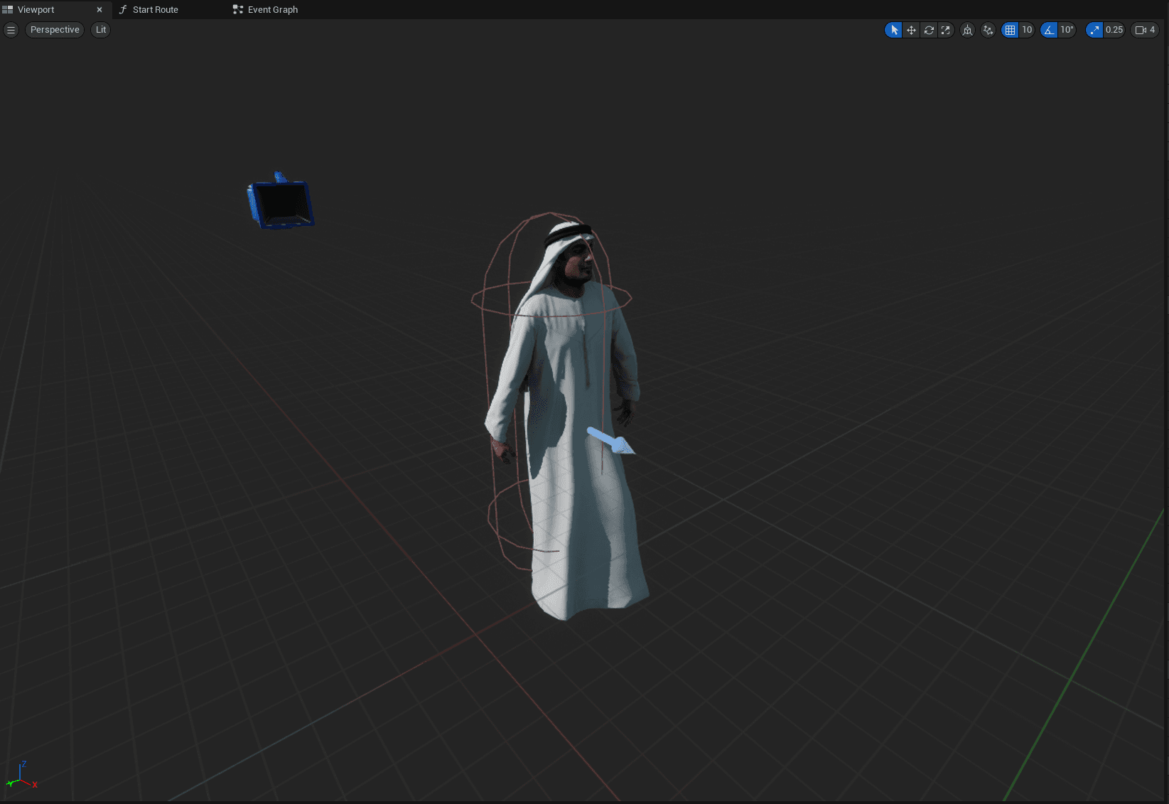
Interactive character design
A custom character model in traditional Emirati dress, adding cultural authenticity to the experience.
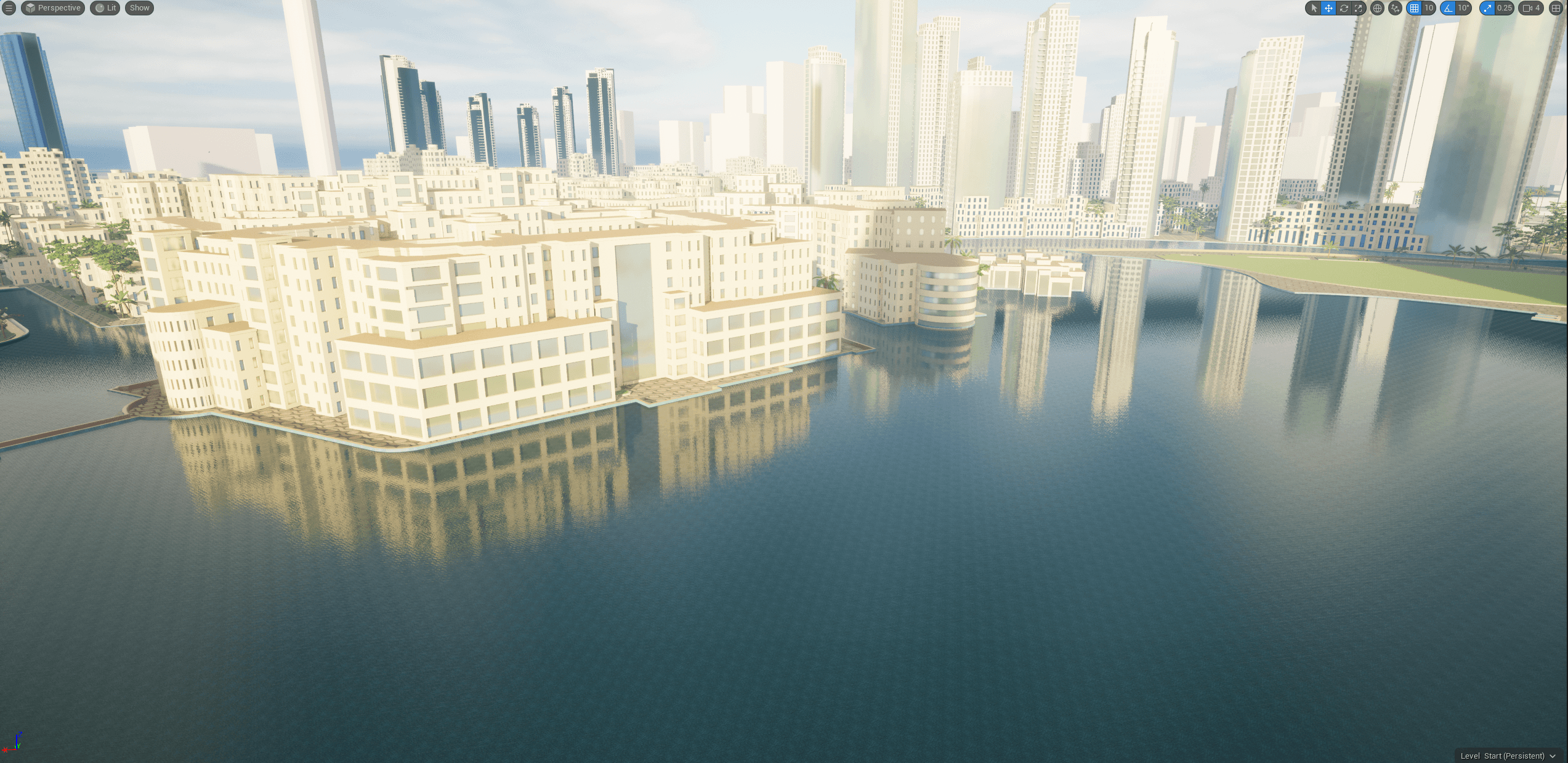
Fountain and urban integration
The urban waterfront with the Dubai Fountain, showing how water features sit within the city’s architecture.
How it works
From GIS data to a live 3D city
01
Gather GIS data
GIS data from multiple sources, prepared in ArcGIS Pro, gives an accurate base for the city.
02
Generate buildings
Custom CGA rules in CityEngine generate buildings procedurally, with billions of possible configurations.
03
Render in real time
Unreal Engine 5.1 renders the city in real-time 3D and hosts the metaverse app.
04
Stream live data
REST API connections keep real estate and planning data up to date inside the model.
Key features
What the digital twin does
Immersive 3D city
An immersive 3D visualization of Downtown Dubai’s urban landscape.
Scenario analysis
Scenario analysis for planning, real estate and infrastructure.
Live data
Live data streaming and real-time updates in the metaverse app.
Procedural modeling
Custom procedural modeling for flexible, scalable city design.
Technical implementation
Data, modeling and visualization
Data & Modeling
- Integrated GIS data from multiple sources for accurate city representation
- Custom CGA rules in CityEngine for procedural building generation
- Scalable modeling with billions of possible building configurations
Immersive Visualization
- Unreal Engine 5.1 for real-time 3D rendering and metaverse integration
- Live REST API connections for up-to-date real estate and planning data
- Interactive scenario planning and real estate vacancy tracking
Tools
What it was built with
ArcGIS Pro
Professional GIS software for spatial analysis.
CityEngine (CGA)
Procedural modeling language for urban environments.
Unreal Engine 5.1
3D game engine for real-time visualization.
Esri
GIS technology company and platform.
Real-time data streaming
Live data processing and visualization.
Impact
A shared model for urban decisions
The project shows how digital twins and immersive technology can support urban development. Because the platform is flexible and driven by data, city leaders, planners and stakeholders can test ideas and see the effect of their choices in a realistic, interactive environment before making decisions.
- Supports data-driven planning and scenario testing
- Improves community engagement through visualization
- Allows real-time monitoring of urban performance
The team
Project team and roles
Unreal Engine Developer
Led game mechanics, experience functionality, and UI development.
Principal | Cofounder - Houseal Lavigne Associates
Assisted with GIS data, created CityEngine rules, and building generation logic.
Story map
Interactive story map
The ArcGIS story map for the project, embedded below.
Walk through Downtown Dubai
The ArcGIS story map walks through the project in more depth.